Minor corrections for a better Web presentation prior to downloading.
The verion number of the User’s Manual has also been updated to correspond to AstronavXls 14.1.
Minor corrections for a better Web presentation prior to downloading.
The verion number of the User’s Manual has also been updated to correspond to AstronavXls 14.1.
Two Appendices have been added to the user's manual, for the sake of completeness.
Appendix A describes the mathematical calculations to plot the circles of position (COP) , using spherical trigonometry.
Appendix B explains the scheme used to determine the intersection of two COPs, using lines of position moving tangentially along the COPs and converging to their intersection point. The Excel VBA code to accomplish this task is also described with detailed comments.
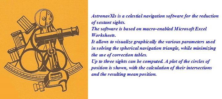
In this new version, AstronavXls 14.0 has been revised to modify the few remaining erroneous LOP (Line of Position) reference identifications to COP (Circle of Position), mainly in the plotting sheet, now named "COP plot". The plots are real COP derived from the sextant measured celestial body altitude.
The user's manual has also been revised accordingly and a few more corrections were made.
Some changes were made regarding the downloading procedure. Previously, the original documents were kept on the "Google drive" server and upon clicking their hyperlink in the "Download documents" section, the document was forced to open in the "Google document" application, not fully compatible with "Microsoft Excel". The appearance of the "Excel document" was not representative of the original, particularly regarding the graphic content, and this false appearance was not very incitative to download the original.
The original documents are now stored on "One drive", owned by Microsoft, and open in a compatible "Excel viewer", showing the true features of the Excel worksheet (although not fully operationnal because the macro functions are not enabled). Once the document is opened, clicking the "File" tab followed by "Save as/Download a copy" in the rolldown menu allows proper downloading of the plain "Excel *.xlsm" original.
Text (pdf) documents have a "Download" tab in the tool bar.
Paul
The Universal Plotting Sheet instructions have been modified to indicate that before changing any scale setting, one should make sure that the zoom factor of the sheet (bottom right, when the toolbar is active) is set at 100%. After, you may change the zoom and the scales will follow.
Paul
When offshore, you need a plotting sheet adjusted for the mean Latitude of the area you are navigating. Some printed sheets do exist which are preset to a specific Latitude, such as the #974 plotting sheet, with meridian spacing set to Lat 45°, or other fixed values. If your navigation extends over several latitudes, you have to bring a whole set of sheets with different mean latitudes. With this Excel Universal Plotting Sheet, you can enter any Latitude value and the meridian spacing with associated scales will automatically adjust to the desired value. This Excel Worksheet requires enabling the «macros» in the Excel File/Options/Trust Center Settings.
However, if you are taking a navigation course and a specific preset sheet is recommended for an exercise, make sure that you select the same mean Latitude with the Universal Plotting Sheet, otherwise your results may differ significantly from the expected ones.